

Highways Notorious for Human-Trafficking
Human trafficking is a crime that affects thousands of people each year with an expansive network hiding in plain sight. America’s interstate highway system, spanning over 46,000 miles, inadvertently serves these illicit activities due to its accessibility, speed, and maneuverability. Certain highways have earned a notorious reputation for being frequent routes used by traffickers to transport victims, blending into everyday traffic. These roads span large geographic areas, often crossing state lines and international borders, making it difficult to track and intercept illegal activity.
Law enforcement data and criminal cases have identified several interstate highways that frequently appear in trafficking investigations. Understanding these patterns helps identify where resources and enforcement efforts are most needed. With that said, here are some of the most notorious highways for human trafficking…
Interstate 40 (I-40)

Running 2,555 miles from Barstow, California to Wilmington, North Carolina, I-40 serves as a major east-west artery through the southern center of the country. Major concerns center around urban areas like Memphis, Nashville, and Oklahoma City.
The highway’s connection to multiple other interstates creates numerous trafficking routes through the middle of the country.
Interstate 95 (I-95)
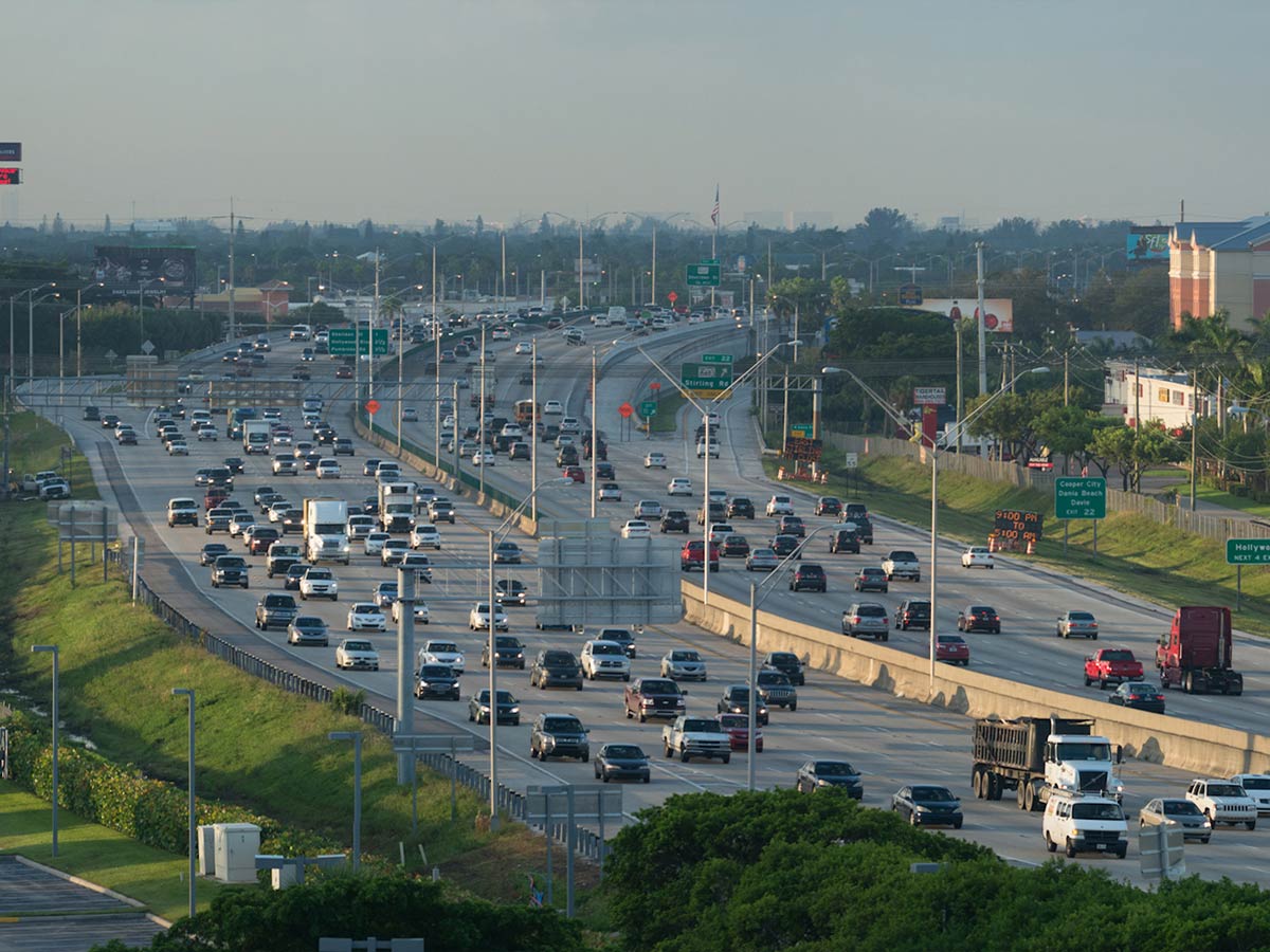
Extending 1,919 miles from Miami to Maine, I-95 serves as the main artery of the East Coast. This interstate connects major population centers, including Miami, Jacksonville, Washington D.C., New York City, and Boston.
The corridor’s alignment with the eastern seaboard and connection to major ports makes it particularly susceptible to trafficking activity.
Interstate 5 (I-5)
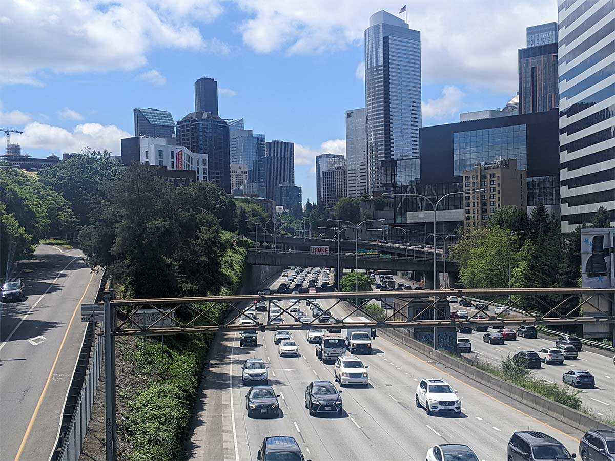
The I-5 corridor spans 1,381 miles along the West Coast, connecting Mexico to Canada through California, Oregon, and Washington. Major cities along this route include San Diego, Los Angeles, Sacramento, Portland, and Seattle.
The highway’s position between two international borders and connection to major ports makes it a significant corridor, with elevated activity reported in California’s Central Valley and near border regions.
Interstate 10 (I-10)
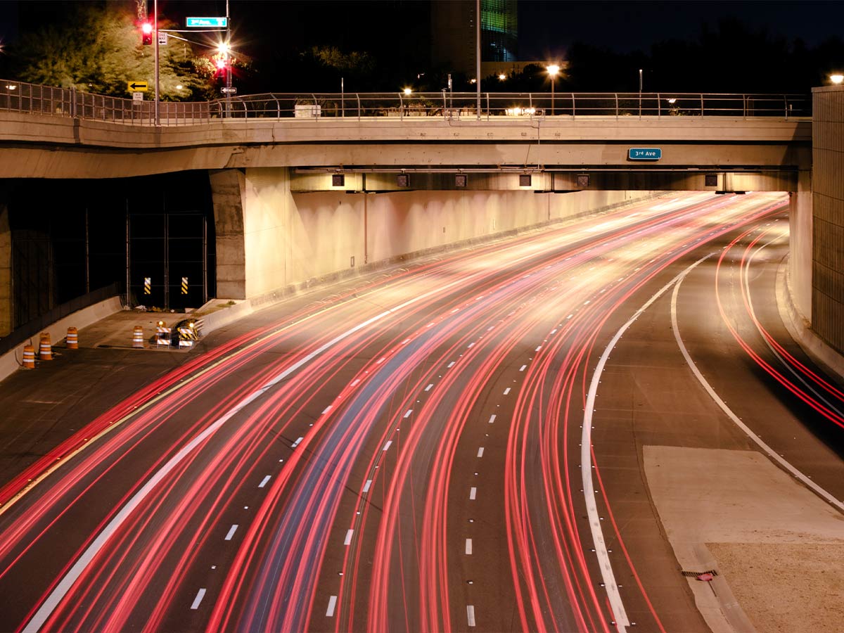
I-10, the southernmost cross-country interstate in the United States, spans 2,460 miles from Santa Monica, California to Jacksonville, Florida. Its proximity to the Mexico border and connection of major urban centers makes it particularly significant.
Key metropolitan areas along I-10, including Houston, San Antonio, and New Orleans, have reported numerous cases, with Texas sections showing particularly high activity levels.
Interstate 20 (I-20)
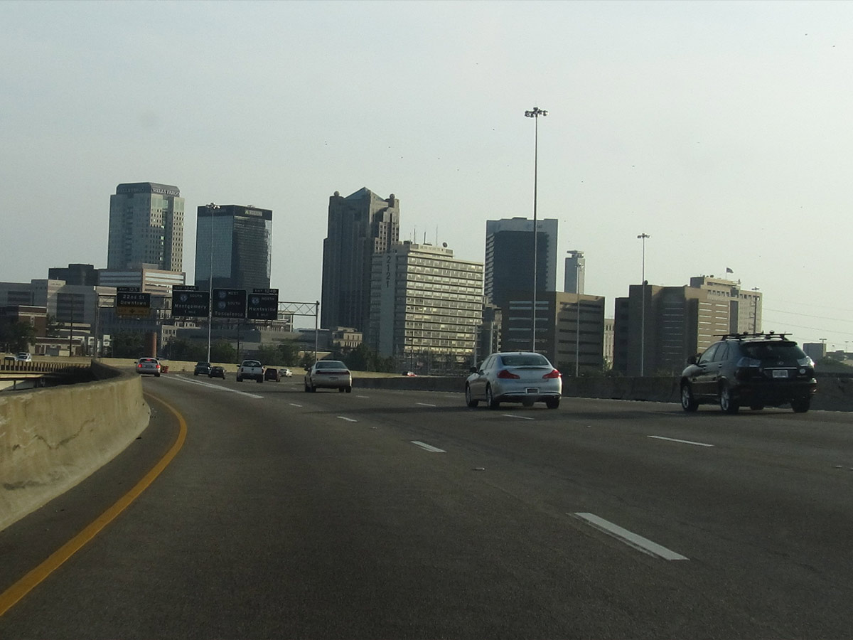
The I-20 corridor spans 1,535 miles from Kent, Texas to Florence, South Carolina. This highway is notable for connecting several major southern cities, with Atlanta serving as a major hub where multiple interstates converge.
The stretch between Dallas and Atlanta sees particularly high levels of trafficking activity, with cases frequently documented at truck stops and motels along this route.